|
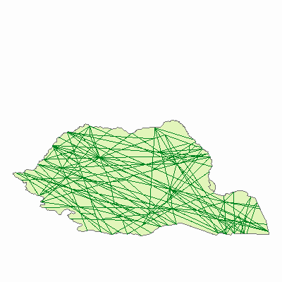
Width: 400 Height: 400 Extent:
YMin: 41.78233537400667 XMax: 31.04677777745003 YMax: 53.07811315190665 Spatial Reference: PROJCS["Romania_double_stereo",GEOGCS["GCS_Pulkovo_1942",DATUM["D_Pulkovo_1942",SPHEROID["Krasovsky_1940",6378245.0,298.3]],PRIMEM["Greenwich",0.0],UNIT["Degree",0.0174532925199433]],PROJECTION["Double_Stereographic"],PARAMETER["False_Easting",500000.0],PARAMETER["False_Northing",500000.0],PARAMETER["Central_Meridian",25.0],PARAMETER["Scale_Factor",0.99975],PARAMETER["Latitude_Of_Origin",46.0],UNIT["Meter",1.0]] Scale: 106.7315450678213 |