|
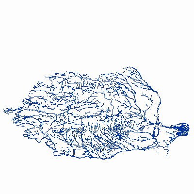
Width: 400 Height: 400 Extent:
YMin: 41.882209685913814 XMax: 29.924642532776772 YMax: 51.6261889870399 Spatial Reference: 4258 (4258) Scale: 1.0237590863278361E7 |
| ArcGIS REST Services Directory | Login | Get Token |
| Home > services > HY > HY_View (MapServer) > export | Help | API Reference |

|
Width: 400 Height: 400 Extent:
YMin: 41.882209685913814 XMax: 29.924642532776772 YMax: 51.6261889870399 Spatial Reference: 4258 (4258) Scale: 1.0237590863278361E7 |